An Advanced Mobile Surveying & Engineering Application
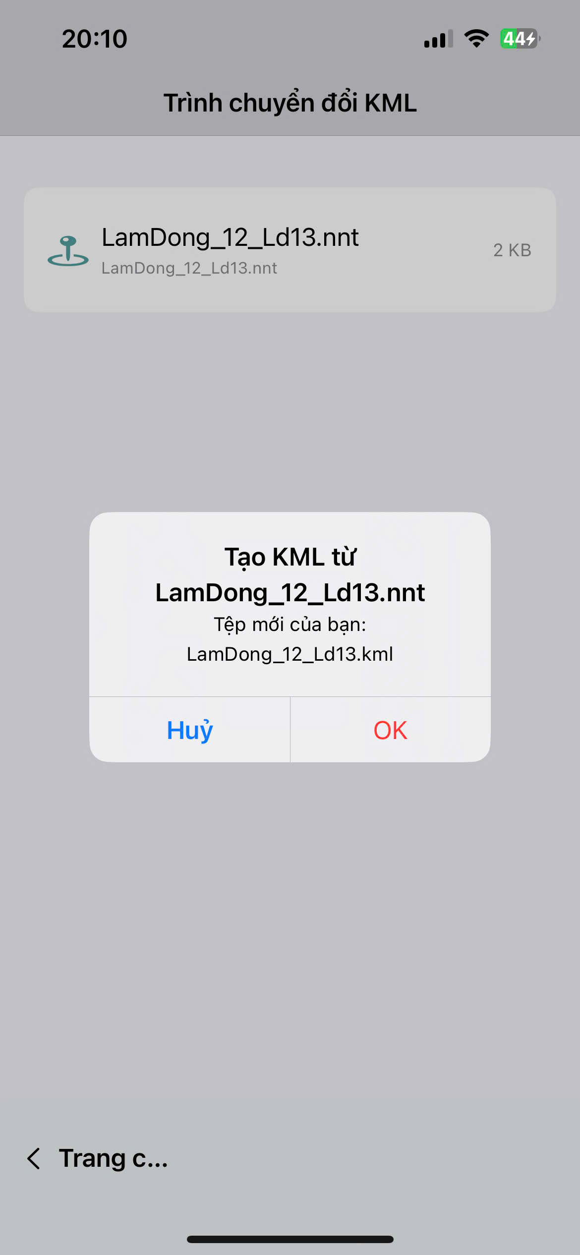
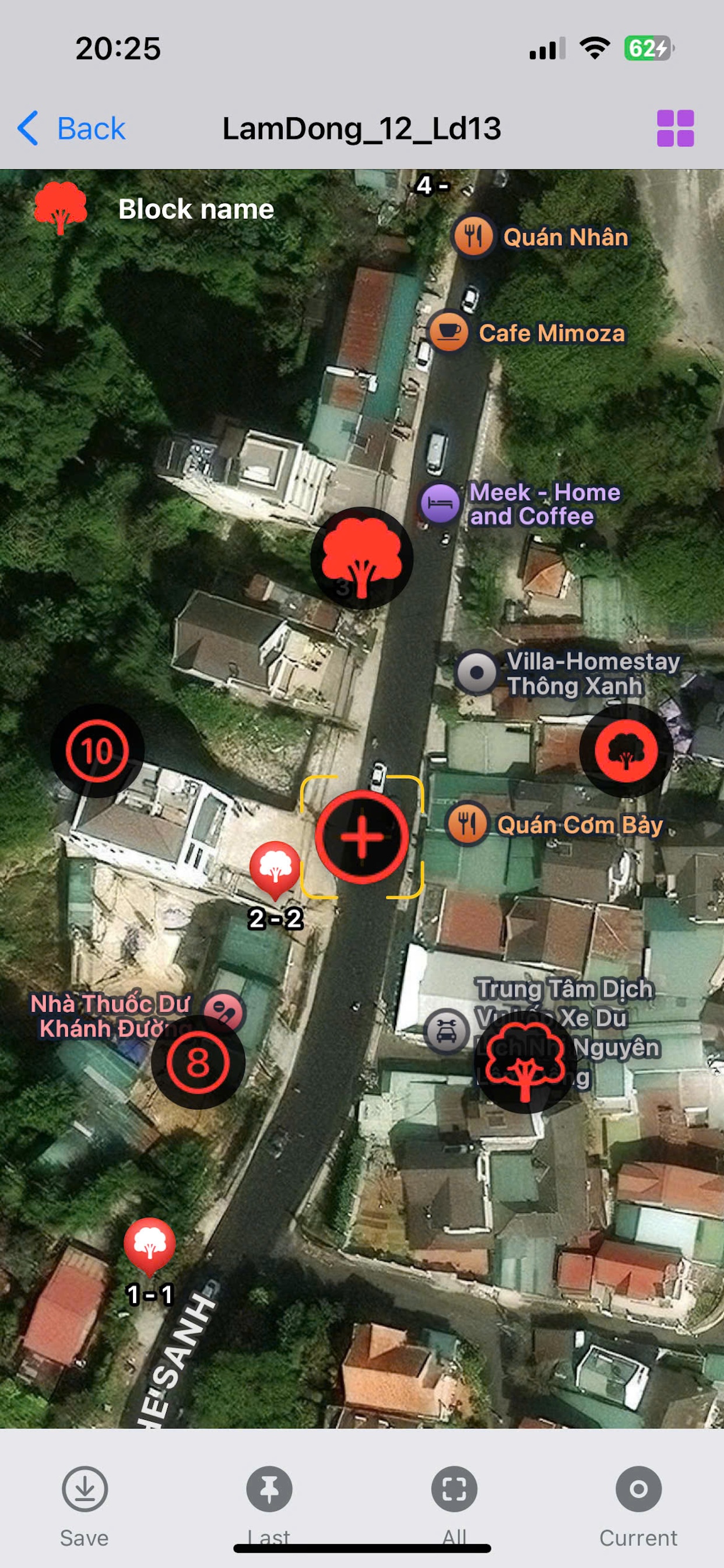
Optimized for iPhone and iPad. Designed for infrastructure, energy, and transportation engineers. Manage proprietary .nnt data and export high-precision DXF drawings instantly without a PC.
1. Field Survey
2. Data Process
3. DXF Engine
4. Contour Lines
5. Management
Complete end-to-end workflow on iPhone/iPad without requiring Desktop computers or Civil 3D:
1. Field Surveying & Data Capture
Accurate coordinate acquisition, unlimited photo capture with geographic binding.
2. Data Management & Conversion
Convert KML to .nnt modern survey format while preserving data integrity.
• Transportation
• Power & Energy
• Water Supply
• Geodesy
| Account Type | Details | Price |
|---|---|---|
| Free Trial | Survey length < 1km | Free |
| Standard Monthly | Full access - 1 Month | 44.99 $ |
| Quarterly Pro | Full access - 3 Months | 109 $ |
| One-Time Export (Available with DXF) | ||
| Short Project (1-3km) | Per export | 1.99 $ |
| Extra Large Project (10-15km ~ 100 km2) | Per export | 12.99 $ |
| Enterprise | Custom requirements: larger areas, dedicated servers, contour lines. | Contact (Viber) |
* Prices may vary depending on your region.
Streamline your field-to-office workflow today on iPhone & iPad. All processes are handled within a single mobile application.
DOWNLOAD ON APP STORE